 |
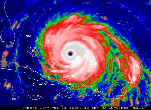
A GOES-8 image (enhanced IR, 4km res) of Floyd
during peak intensity. Sustained winds were 155mph and the MSLP was
921mb. (Image courtesy of UW-CIMSS) |
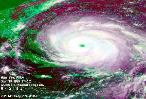 |
A 3-channel composite of Floyd at peak
intensity. Uses GOES Ch4 as red, Ch1 as green, and Ch2 for blue. |
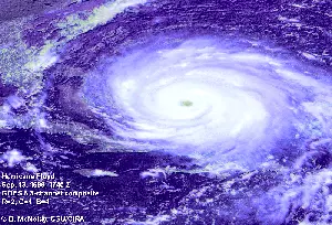 |
A 3-channel composite of Floyd at peak
intensity. Uses GOES-8 Ch2 for red, Ch1 for green, and Ch4 for blue. |
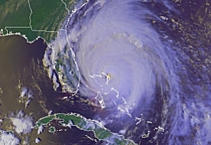 |
A 3-channel composite of Floyd as he passed
directly over Abaco Island in the Bahamas. Uses AVHRR Ch1 for red,
Ch2 for green, and Ch4 for blue. (Image courtesy of UW-Madison) |
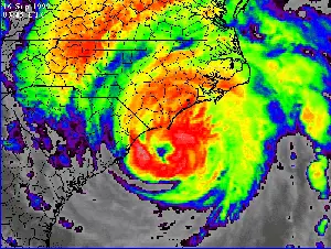 |
GOES-8 infrared imagery just hours before Floyd
made landfall on Cape Fear, NC on the morning of Sept 16. (Image
courtesy of NASA GHCC) |
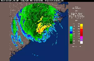 |
Base reflectivity from Wilmington's NEXRAD during
Floyd's landfall. (Image courtesy of WSI Corp.) |
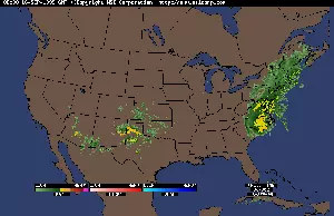 |
A national base reflectivity mosaic during
Floyd's landfall. (Image courtesy of WSI Corp.) |
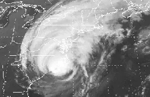 |
An IR (GOES-8 Ch4) image of Floyd just one hour
after making landfall on Cape Fear, NC. |
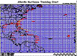 |
A plot of Floyd's track... in
PostScript format (zipped for space considerations). |

