Chase 1998


On May 21st 1998, seven strangers met for the first time in St. Louis, MO. None of us knew exactly what we were in for, but we all had a dream and desire to chase storms. There were varying levels of expereince... ranging from over 30 years as a Skywarn instructor and storm spotter to next to nothing. Skills brought to the team ranged from electrician, to car salesperson, to physicist, to newspaper reporter/photographer. Chase '98 was a huge success and lasted until May 31st. Permanant friendships were molded and an idea had blossomed. The idea would become MESO shortly after Chase '98 ended.


CHASE TEAM:
John Bender (Yorkville, IL)
Nancy Bose (Verbank, NY)
Allan Detrich (Columbus, OH)
Geoff Mackley (Aukland, New Zealand)
Brian McNoldy (Reading, PA)
Dave Ott (Dickinson, ND)
Bill Steigerwald (Pittsburg, PA)


The fleet consisted of three vehicles, an Escort, a Blazer, and a 22' Winnebago RV. Typically, the Escort was occupied by the most experienced chasers and was the lead vehicle. The Blazer was occupied by media personnel, and the RV was the mobile lab, or operations headquarters.

All photos on this page are the property of the photographer and are not to be copied or distributed without consent of the photographer. To view a larger version of a photo, click on the thumbnail.


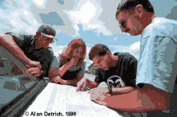
Team planning was an essential part of every morning. Using maps, computers, and intuition, the team hoped to meet up with severe weather.

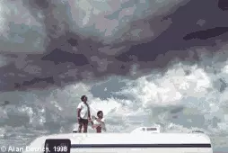
A weak late-morning thundershower on 24may98 sparks the motivation to fix the CB antenna on the mobile lab. (who's the antenna?)

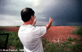
By late afternoon on May 24th, the team has found its prize, a potentially tornadic supercell in south-central KS. John Bender focuses the team's attention on the hail shaft.

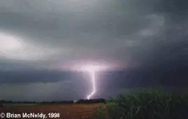
A brilliant lightning bolt sets the stage for an electrifying chase. The team stops to observe the storm just north of Geuda Springs, KS.

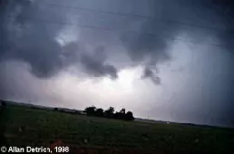
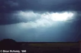
Low-level turbulence, scuds, and wall clouds were a common sight that evening.

A rain-shrouded tornado ~2 miles NE of our position near Geuda Springs. When backlit by lightning, the wedge shape was quite well-defined.

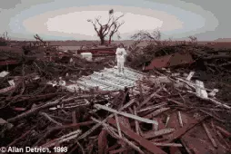
Tornadic damage near Lamont, OK. A child salvages any belongings she can find.

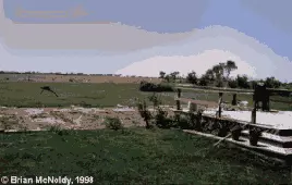
This trailer home near Lamont was completely removed from its location, leaving only a bare dirt spot as evidence that it was there. The deck and flowers still stand as if nothing happened.

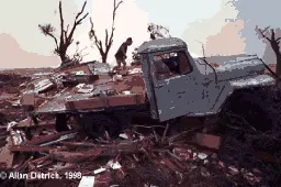
A family searches for belongings in the wreckage of their house and truck near Lamont.

A woman displays hail stones she collected from the severe storm outbreak in southern KS the day before.

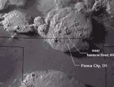
A satellite view of the storm system that moved through south-central KS and north-central OK on the evening of 24may98. The cities marked are where we stopped to observe and where we were stationed later that night.

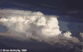
A developing cumulonimbus observed from a plane; east of St. Louis on 31may98.


View a NOWRAD RADAR loop during May24th and May25th of 1998. National Mosaic or a zoom-in of the Central Plains (the cenral plains loop is a little shaky). Radar imagery courtesy of NCDC. Our team was near Geuda Springs, KS (just north of central section of OK-KS state line).

To view a series of satellite images from GOES-10 on May 24th, 1998, download the zip file here. Images were originally in McIDAS format and were processed/enhanced using IDL. DOWNLOAD 24may98_sat.zip HERE (almost 2Mb). Save it to a directory, unzip it, read the README.TXT first for description of the images.

Home page